Geospatial Applications for Hydrant Flushing & Sewer Maintenance
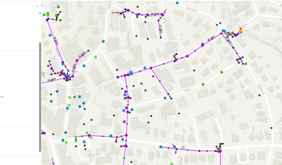
Over a six-year period, our GIS team provided on-call services to the City of Middletown’s Water and Sewer Department. The work included migrating sewer data from a deprecated asset management system to ArcGIS Online and transitioning CAD-based water data to an ArcGIS Online environment. Sewer and water plans were georeferenced, digitized, and attached to associated assets to improve the accuracy and completeness of the City’s utility data. More than 13,600 sewer service cards were also digitized and attached, where available.
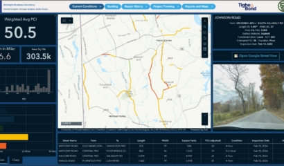
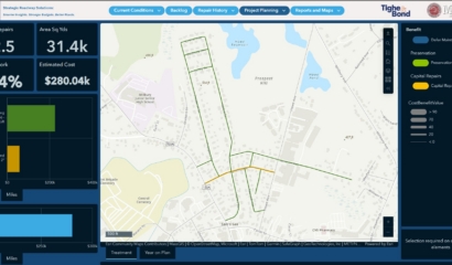
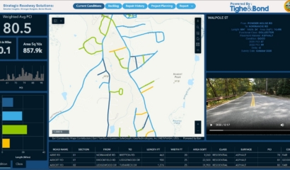
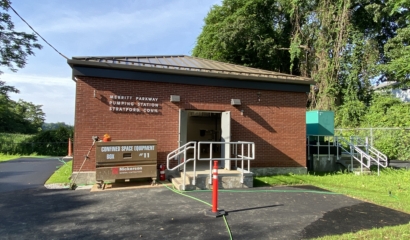
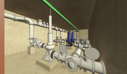
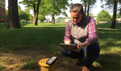
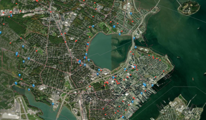
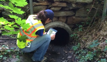
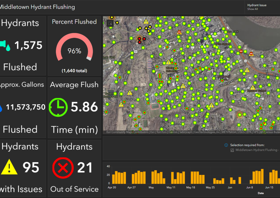
ArcGIS Online-based desktop and field applications were configured for hydrant flushing, valve exercising, sewer pump station inspections, sewer main and manhole maintenance, and flow meter inspections, with historical records maintained for inspection and maintenance activities. Automated workflows were also developed for attribute updates and email notifications supporting specific operational processes. Annual training was provided to field personnel to reinforce familiarity with established applications, workflows, and processes.