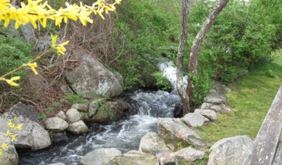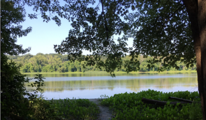
Providing Resilient Infrastructure while Restoring Valuable Marsh Habitats
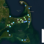
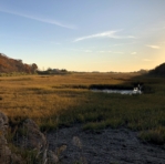
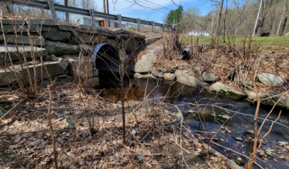
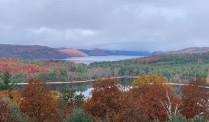
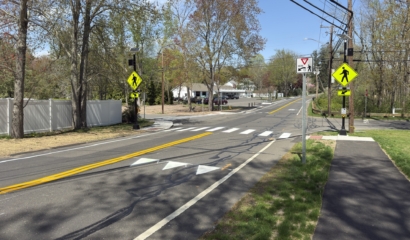
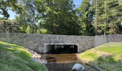
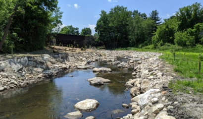
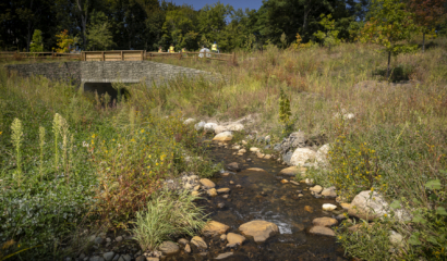
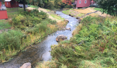
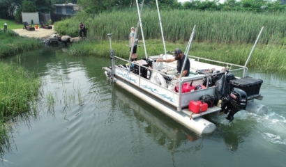
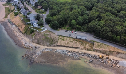
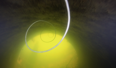
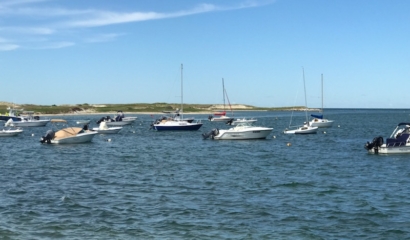
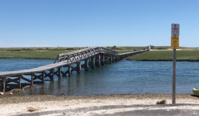
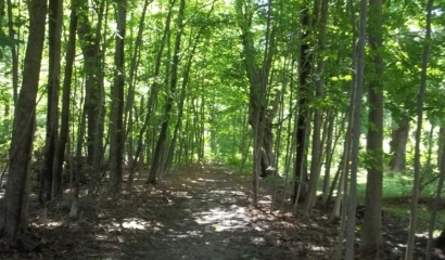
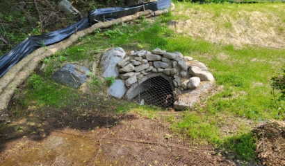
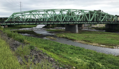
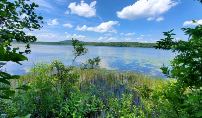
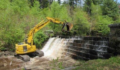
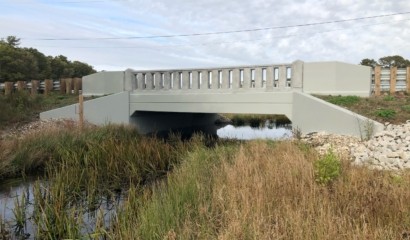
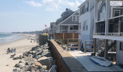
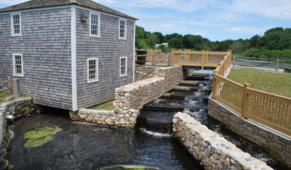
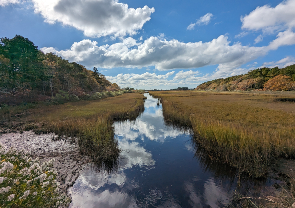
Two deteriorated, undersized Weir Creek culverts under Lower County Road in Dennis, MA restrict tidal flow to approximately 120 acres of upstream wetland habitat, which has resulted in the degradation of salt marsh and stream habitat, increased cover of invasive phragmites, and reduced nutrient flushing. Additionally, Lower County Road is a low-lying roadway that is routinely prone to flooding.
The Association to Preserve Cape Cod (APCC) contracted with our firm in partnership with the Town of Dennis and the Natural Resources Conservation Service (NRCS) to design a number of site improvements, including replacement of the old culverts with precast box ones with increased project capacity and raising the roadway elevation. The primary goal of this project is to increase tidal exchange to restore the ecological health of the estuary, promote upland drainage, and improve climate resilience.
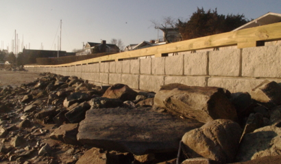
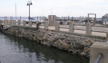
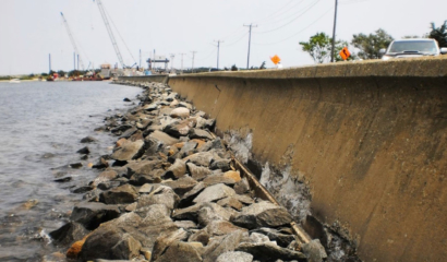
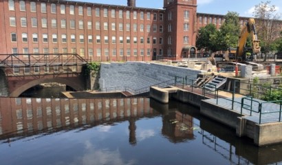
Our engineers teamed with Woods Hole Group to perform a hydrologic and hydraulic evaluation along with tidal and coastal-storm inundation mapping of the creek to appropriately size the proposed structures, understand the flooding impacts of increasing their hydraulic capacity, and model salinity. The roadway will be raised by up to three feet to mitigate flood concerns at Lower County Road and to provide future resiliency against climate change and sea level rise. Raising the roadway requires retaining walls to mitigate impacts to the wetland resource areas.
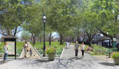
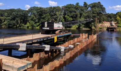
Our scope of work also included obtaining site survey along the project limits to facilitate roadway and site design. The proposed roadway will feature improved paved shoulders, sidewalks, and upgraded guardrails along the full project limits. These improvements will increase both roadway and pedestrian safety along this highly traveled route. The project will also include replacement of the water main over the full length of the project area, gas main, and relocation of overhead wires.
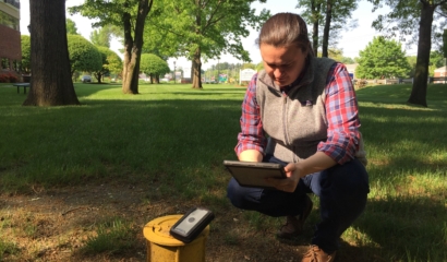
Geotechnical exploration was completed through a series of borings throughout the project site. A geotechnical evaluation was performed to determine foundation solutions for the culvert, retaining walls, steep slopes, and to support the additional weight of fill to raise the roadway.
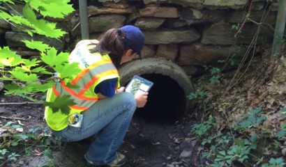
Our team performed wetland flagging and will assist in obtaining environmental and historic permits required based on the project impacts. The culvert replacement and roadway improvements will provide long-term, durable infrastructure resilient to climate change and sea level rise to mitigate roadway flooding and accessibility, while improving tidal flushing and restoring valuable saltwater marsh habitats within the Weir Creek watershed.
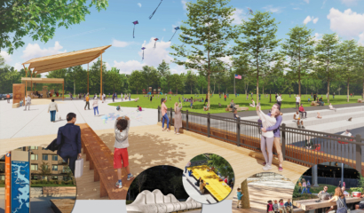
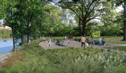
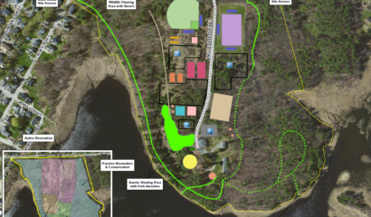
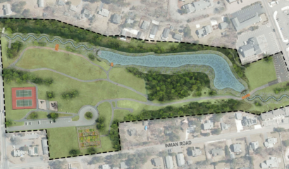
A posterboard showcasing the proposed improvements and benefits to nearby salt marshes.