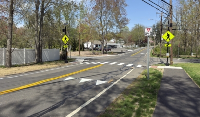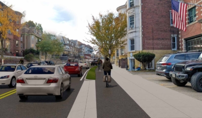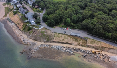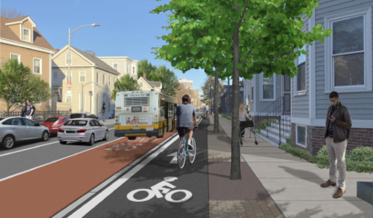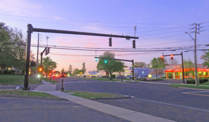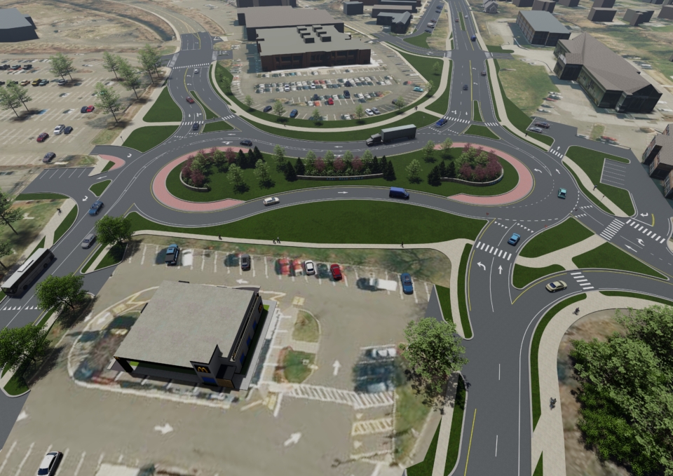
Designing for Safety at a Critical Intersection
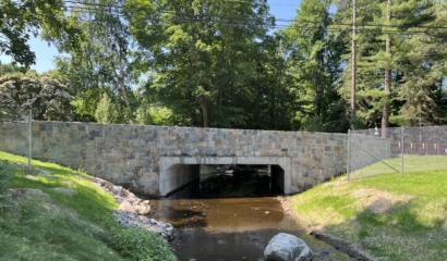
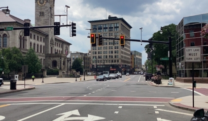
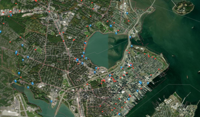
Our firm served as part of the project team to develop a comprehensive transportation improvement plan for Post Road Circle in Fairfield, CT. The Post Road Circle serves as an important local and commuter connection between downtown Fairfield, Black Rock, Fairfield University, Kings Highway, and Jennings Beach, while also serving as a regional bypass to Interstate 95 with U.S. Route 1 and Route 130 passing through and connecting to the circle. The 1950’s era highway-grade infrastructure and high speed, yield control movements serve as a barrier to multi-modal access and cause safety and capacity concerns. The study identified creative engineering solutions to transform Post Road Circle into a safe and complete transportation network.
Partnering with Fitzgerald & Halliday, Inc. (FHI), the Connecticut Metropolitan Council of Governments (METROCOG), the Town of Fairfield, and Connecticut Department of Transportation (CTDOT), we conducted an analysis of the existing transportation conditions at the site. The study assessed the operational and safety characteristics of the road, which was guided by a robust public outreach process to develop conceptual improvement alternatives. An innovative data collection and analysis methodology was used to understand and communicate the complexities of the corridor.
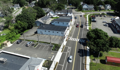
Using drone footage and advanced video processing software, the study team analyzed traffic conditions to develop an understanding of average speed, areas of acceleration, origins and destinations, lane utilization, volume at every location along the corridor, and traffic safety measures. This data allowed for the calibration of accurate VISSIM microsimulation and Synchro traffic analysis models to develop conceptual alternatives with a much higher degree of confidence than traditional data sources allow.
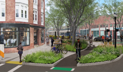
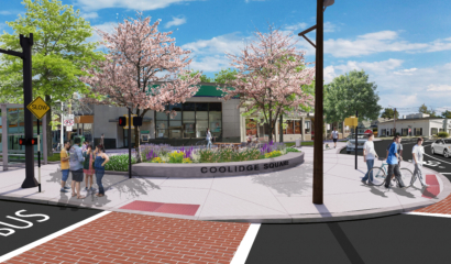
The study prepared a comprehensive planning document, including both short- and long-term conceptual transportation system improvements that Fairfield, METROCOG, and CTDOT can use to guide decision making in transforming Post Road Circle into a safe, efficient, and complete transportation network, while accommodating the expected future local and regional transportation needs and economic development goals for the area. The study and study team were recognized for their innovative aerial drone analyses and 3D renderings in receiving the Engaging with Graphics Awards from the Connecticut Chapter of the American Planning Association (CCAPA).
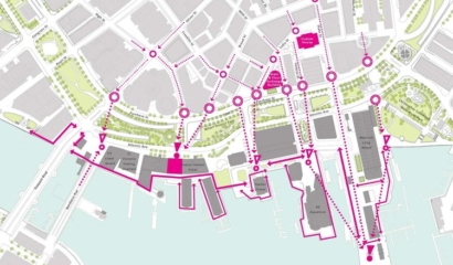
The Post Road Circle Study is publicly available to view, along with a StoryMap to showcase the study’s findings and recommendations; the Study and StoryMap can be viewed here.