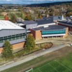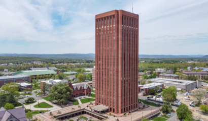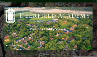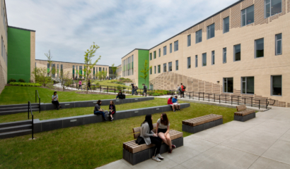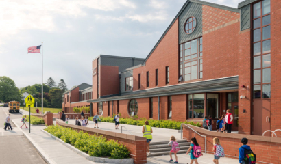
GIS Technology Aids Institutions’ Asset Management
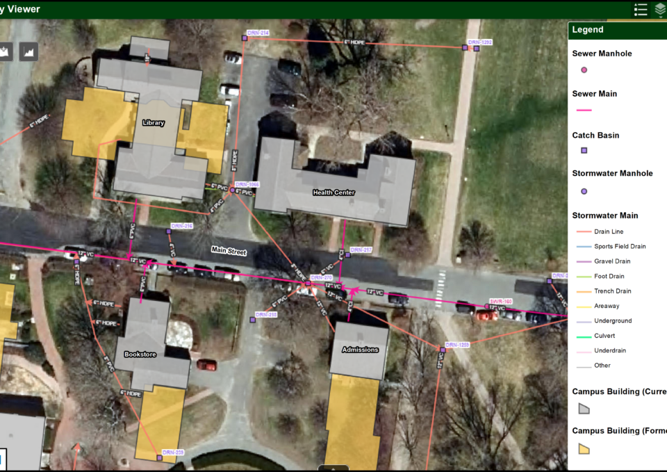
Our team organizes existing infrastructure, natural resources, and topographic data, supplemented with institutional knowledge of campus staff, fieldwork, and record plans to create a campus-wide GIS database. The GIS data is accessed using GIS applications optimized for desktop and mobile use. Facility staff interact with GIS data, run geoprocessing tools, import new data, print maps, and analyze campus facility and utility attributes. The GIS is a “Digital Map Room” that provides staff with on-the-fly access to the geographic location of assets, asset information, photos and videos, record plans, and drawings all relating back to the campus design and layout.
Tighe & Bond configures GIS applications using Esri’s suite of cloud-based applications. We are proud of our twenty-year relationship as a business partner with Esri and are recognized for our expertise with ArcGIS Online and as a Release Ready partner. Our commitment to the Esri platform allows us to provide the latest, proven GIS solutions to our clients who in turn benefit from our expertise.
Services Snapshot
The implementation of these web-based GIS applications streamlines the management of assets and critical resources for any institution keeping pace with daily operational and long-term campus planning.