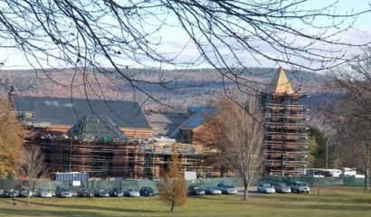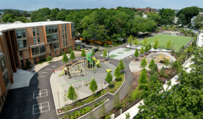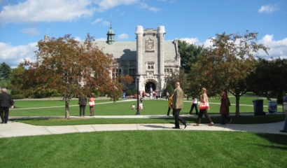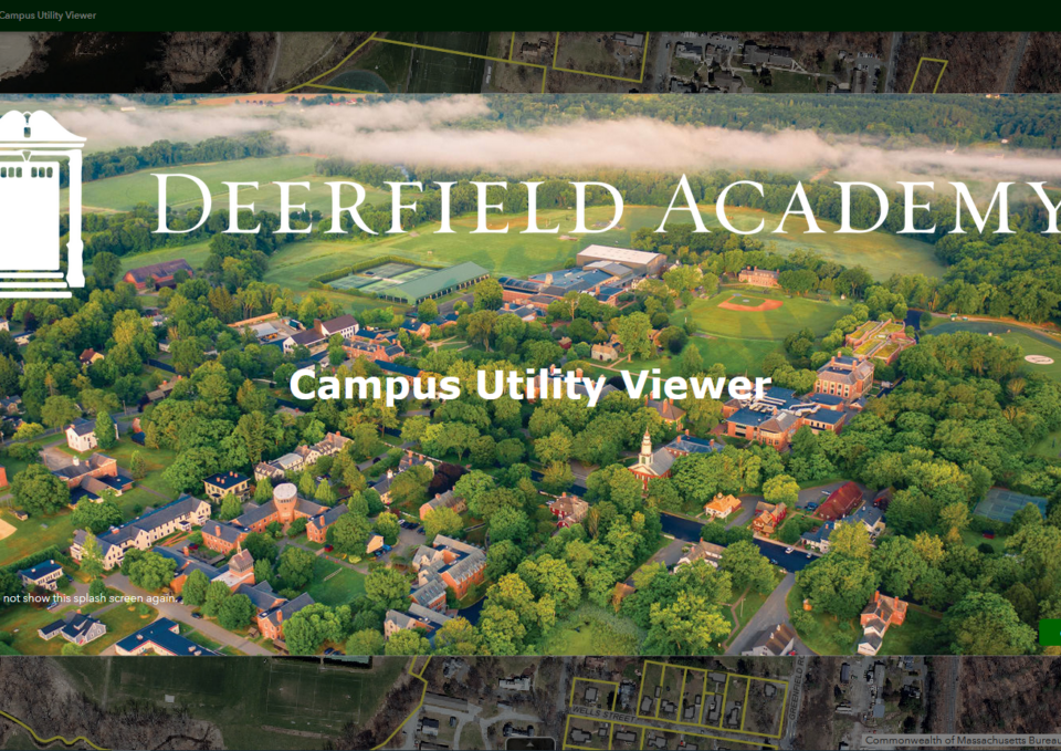
Managing Campus Assets Using GIS
Tighe & Bond implemented a GIS solution for Deerfield Academy, which provided detailed access to campus infrastructure (utilities, buildings, hardscape, sports fields), as well as environmental constraints, resources, and planimetric and topographic information.
The secure site provided campus staff with ready access to spatial data, attributes, record plans/drawings, and photos from phones, tablets, or desktop computers. Tighe & Bond’s GIS team created an organized, single point of access to campus infrastructure derived from existing records. This GIS application linked assets to drawings, plans, and photos, and provided facility personnel with the ability to edit attributes, link pictures, record maintenance activity, swap base map layers, filter and view selected assets, print maps, export tables to Excel, and measure distances and areas.
The web application provided staff with direct access to asset information, record plans and drawings, and photos on the fly in the field or on desktop computers.