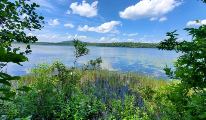
Climate Assessment to Inform Watershed Protection
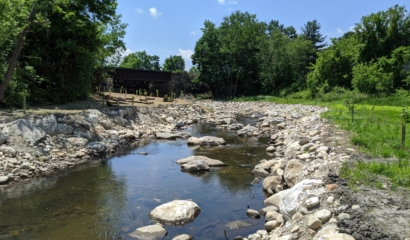
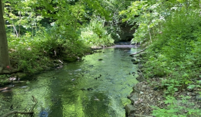
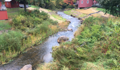
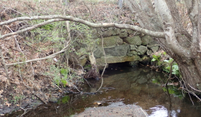
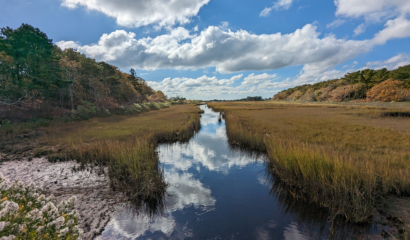
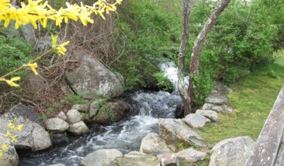
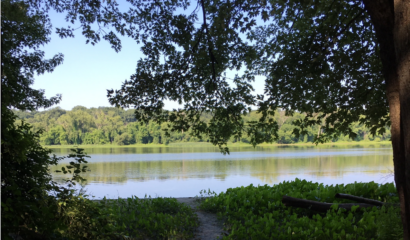
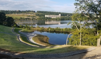
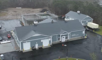
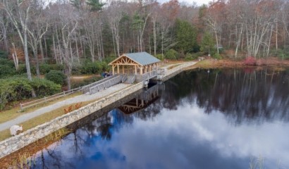
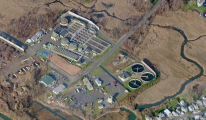
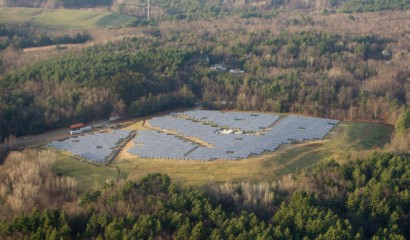
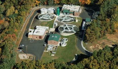
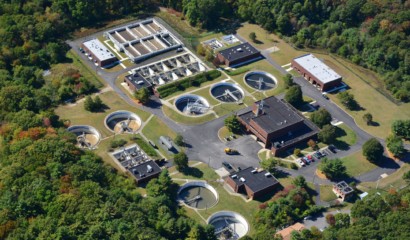
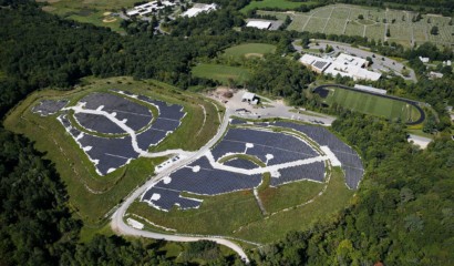
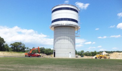
Our firm partnered with the Department of Conservation and Recreation’s Division of Water Supply Protection (DWSP) to develop a Climate Change Vulnerability Assessment (CCVA) as part of DWSP’s ongoing commitment to protect and manage the watersheds that are the source water supply for the Massachusetts Water Resources Authority (MWRA) to treat and distribute to 2.7 million Commonwealth residents.
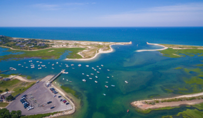
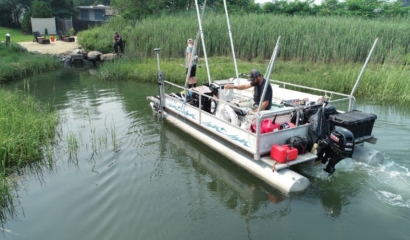
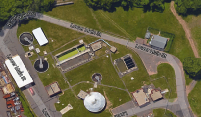
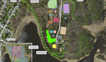
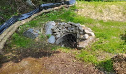
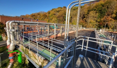
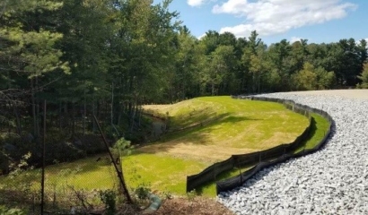
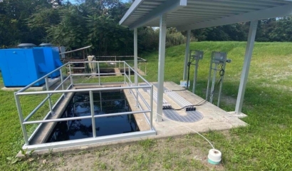
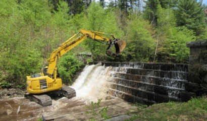
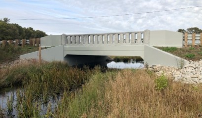
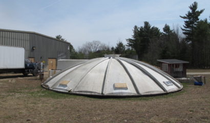
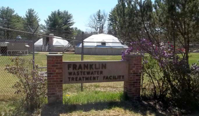
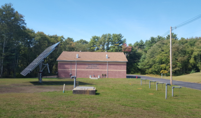
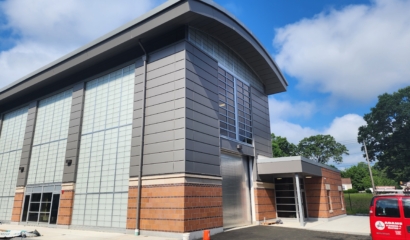
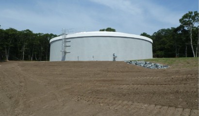
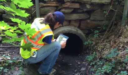
Over 100 assets within the DCR/MWRA watershed area were evaluated; it was determined that approximately one-third of these assets are critical to the protection of water quality under current and future climate scenarios. Using the CCVA framework and decades of data collected and managed by DCR and other entities, our team then assessed the condition of these assets to identify which critical assets may be most vulnerable to climate change.
Our team leveraged the power of ArcGIS to compile, sort, and evaluate decades of data into a geospatial and user-friendly dashboard that will provide DCR with a visual tool to assess and manage assets that are critical to the supply of clean, unfiltered drinking water.
This comprehensive and collaborative effort not only enhances the resilience of the Commonwealth’s largest water supply system but also sets a precedent for climate-informed watershed management—facilitating the continued protection of these natural assets to continue providing clean, reliable drinking water for generations to come.