GIS Solutions Include LSL Visualization, UDF Modeling
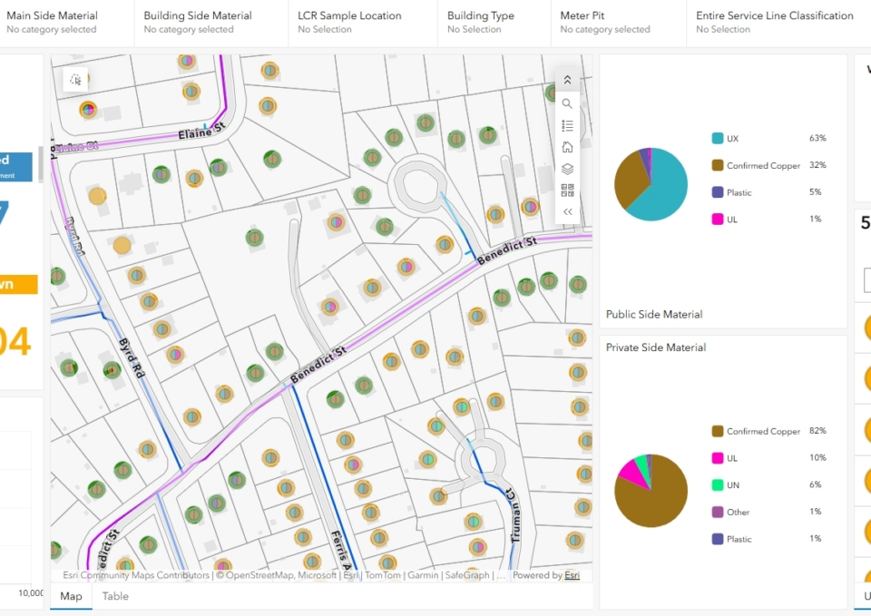
Over a multi-year period, our firm has provided on-call GIS services to South Norwalk Electric and Water (SNEW) in support of its water and electric utility operations. The work includes day-to-day GIS support, data maintenance, mapping, application configuration, and technical assistance for staff using the Esri ArcGIS platform. Our firm also configured a Lead Service Line GIS solution to support SNEW’s inventory, review, field verification, and reporting workflows.
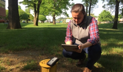
ArcGIS Online-based desktop and field applications configured by Tighe & Bond are being used for hydrant flushing, valve exercising, water main break reporting, and watershed management. Unidirectional water main flushing (UDF) modeling is under development and will be guided by ArcGIS Online applications. These applications help SNEW staff collect and maintain consistent field data, track operational work, review system conditions, and improve access to utility information across departments. Ongoing GIS support also includes updates to water and electric datasets, workflow refinements, staff assistance, and application maintenance to keep SNEW’s GIS tools aligned with daily operations.