How Two Connecticut Communities Are Utilizing GIS to Stay Compliant with New Wastewater Permits
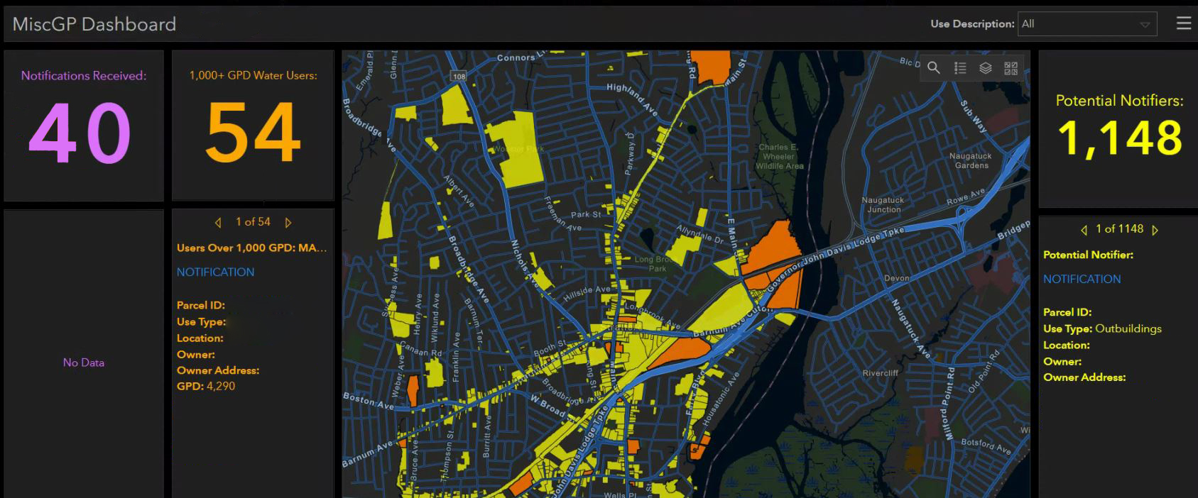
A sample of a dashboard used to track notifications.
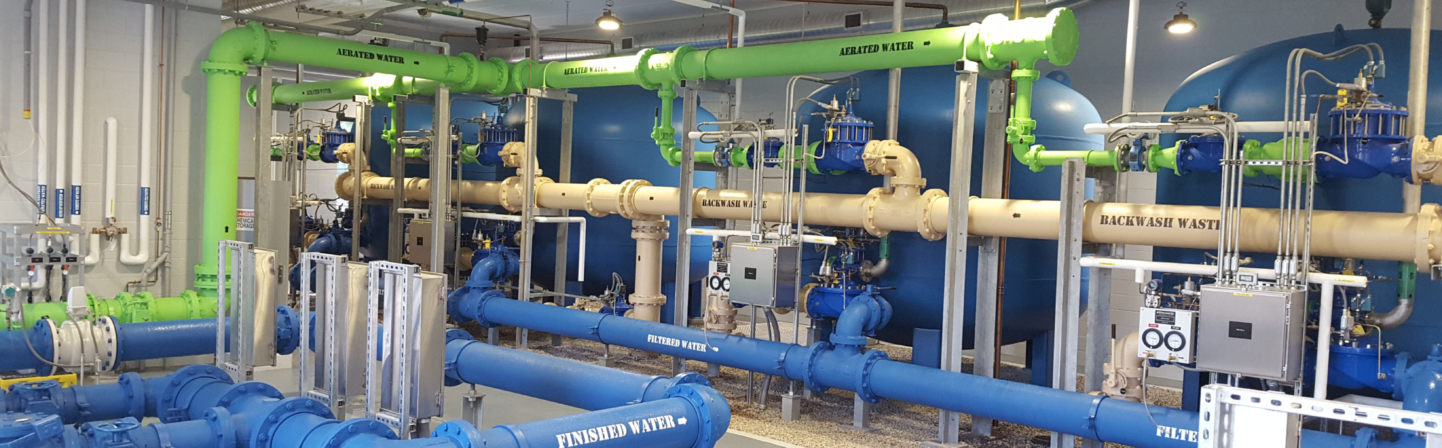
When the Connecticut Department of Energy & Environmental Protection (CTDEEP) expired the General Permit for Miscellaneous Discharges of Sewer Compatible Wastewater (MISC GP) and the General Permit for the Discharge of Vehicle Maintenance Wastewater (VM GP) last fall there was a significant shift from previous wastewater permitting practices. For most facilities, the State replaced both permits with The General Permit for Discharges from Miscellaneous Industrial Users (MIU GP) and required local wastewater treatment plants to coordinate all aspects of the permit including review of notifications, tracking compliance sampling, and identifying violations.
In anticipation of these changes, Tighe & Bond’s Compliance Specialists began reaching out to Publicly Owned Treatment Works (POTWs) across Connecticut to help them prepare for the new permit. Working alongside CTDEEP our team made an FAQ sheet readily available for facilities to easily digest the important changes that made up the new MIU GP. Additionally, our experts created a breakdown of the types of wastewater needing these new general permits and the three stages POTW’s should follow in order to maintain compliance. One of these three stages called for POTWs to utilize GIS Mapping to track the notifications from industrial wastewater users.
Following the advice of our Compliance Specialists, the Town of Stratford and the Town of Southington worked to get ahead of the notifications that would be sent their way from their regulated communities.
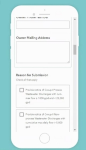
Data gathering Survey123 application on a mobile device
Working in step with our Compliance Specialists and GIS Analysts, leaders in Stratford and Southington tasked Tighe & Bond to provide a streamlined system of tracking and record-keeping of all facilities who notify under the MIU GP. Tighe & Bond conducted a query based on the land use associated with the GIS parcels in Stratford and Southington in order to prepare a list of companies that may have to submit a notification for the permit. In conjunction with this query voicemail notifications were sent out to companies and advertisements were developed on each municipality website to alert industries to the new requirements.
With notifications in full swing, officials from Stratford and Southington utilized the work of our GIS Analysts. Our team created an online system to track the notifications and inspections for which the POTWs would be responsible. We then tapped into the existing parcel layer and ownership/land use information from the municipality’s Assessor to determine potential sites. The data was entered and configured into an esri ArcGIS Collector and ArcGIS Survey123 application (the ArcGIS Collector/Survey123 are data collection apps that can be used on mobile devices to input information from anywhere and avoid the hassle of paper forms).
Stratford and Southington can continue to input notification information into the collection apps and utilize their ArcGIS Online Dashboard where all data is synthesized. Our GIS team set up this dashboard to display and filter the information in the site parcels and provide an overview of the current data in a user-friendly format.
“The dashboard is an easy method of compiling and tracking the information from the user notifications. It’s especially helpful to have the automatic tracking of data to be received sent right to my email,” said Kiari Williams, Southington WPCP Superintendent.
Tighe & Bond worked with officials from Stratford and Southington to ensure a smooth rollout of the application and provided training in the use of the application and dashboard. The pre-emptive work completed by both communities and Tighe & Bond has set these POTWs up for success as they leverage technology to meet the compliance requirements for a new wastewater permit.
Tags: Arc GIS Online, CTDEEP, GIS, permitting, Wastewater