
Assessing Watershed Vulnerability to Climate Change
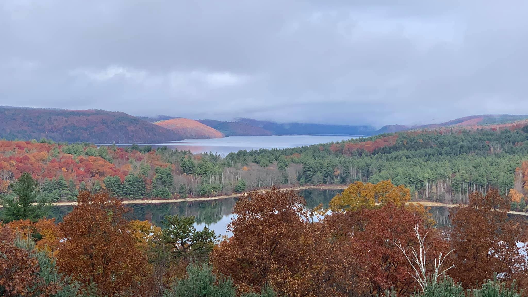
A view overlooking the Quabbin Reservoir, Massachusetts’ largest inland body of water.
Our firm partnered with the Department of Conservation and Recreation’s Division of Water Supply Protection (DWSP) to develop a Climate Change Vulnerability Assessment (CCVA) as part of DWSP’s ongoing commitment to protect and manage the watersheds that are the source water supply for the Massachusetts Water Resources Authority (MWRA) to treat and distribute to 2.7 million Commonwealth residents.
Given that these watersheds serve as tributaries to the Quabbin Reservoir, Wachusett Reservoir, and the Ware River, maintaining long-term water quality is imperative as they are an unfiltered source of water for over three million Massachusetts residents in 53 communities.
This CCVA serves as a national model for natural asset management and climate adaptation planning for the protection of natural assets such as soils, groundwater, wetlands, rivers, streams, reservoirs, and forests. Over 100 assets within the DCR/MWRA watershed area were evaluated; it was determined that approximately one-third of these assets are critical to the protection of water quality under current and future climate scenarios. Using the CCVA framework and decades of data collected and managed by DCR and other entities, our team then assessed the condition of these assets to identify which critical assets may be most vulnerable to climate change.
Our team leveraged the power of ArcGIS to compile, sort, and evaluate decades of data into a geospatial and user-friendly dashboard that will provide DCR with a visual tool to assess and manage assets that are critical to the supply of clean, unfiltered drinking water. The CCVA GIS Application will support DCR in making informed management decisions, prioritizing data collection efforts, and targeting resources toward subbasins with the highest vulnerability and poorest current conditions. Users will be able to view the data by natural asset classification or by specific subbasin areas to support more detailed analysis.
Given the scale, complexity, and significance of this project and the wide range of stakeholders, our team is developing a public-facing GIS-based StoryMap to communicate the approach used to conduct the CCVA and the project’s findings.
This comprehensive and collaborative effort not only enhances the resilience of the Commonwealth’s largest water supply system but also sets a precedent for climate-informed watershed management—facilitating the continued protection of these natural assets to continue providing clean, reliable drinking water for generations to come.